
Tolls
18 September 2026
How the M50 toll is calculated
Understanding a motorway toll: what counts, what does not, and why it changes.
An independent information site about the roads, tunnels and bridges of Ireland. Not a sales or booking service.
An editorial guide to the motorway, tunnel and bridge network of Ireland — how it works, what it costs to cross, and how to read it before you set off. Written independently, with no sales and no bookings.
Links between the first motorways
1970s – 2010s
A note on scale
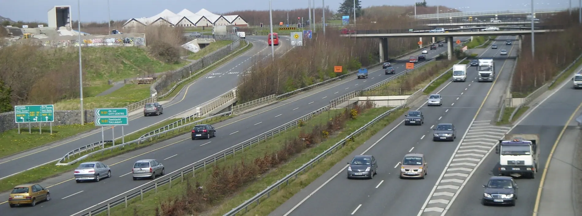
We do not have an exact figure for the total length of the motorway network, and we will not quote a number we cannot check. What can be said is that the M50 around Dublin is the busiest part of the network, and that is where most journeys described here begin.
A motorway can be a cut through the landscape or a line between two places. It depends on how you are looking at it. We start with three things: the case for it, the upkeep, and the way signs are read.
About the projectMotorway
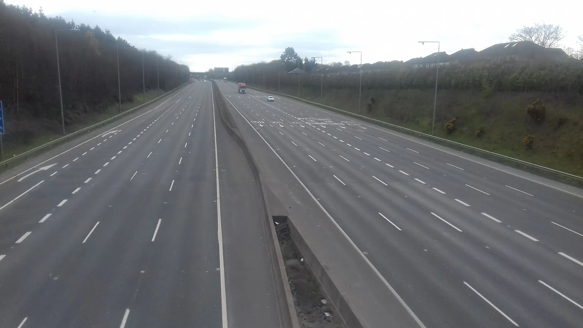
A curve around the edge of Dublin, the busiest motorway in the country.
Coastal route
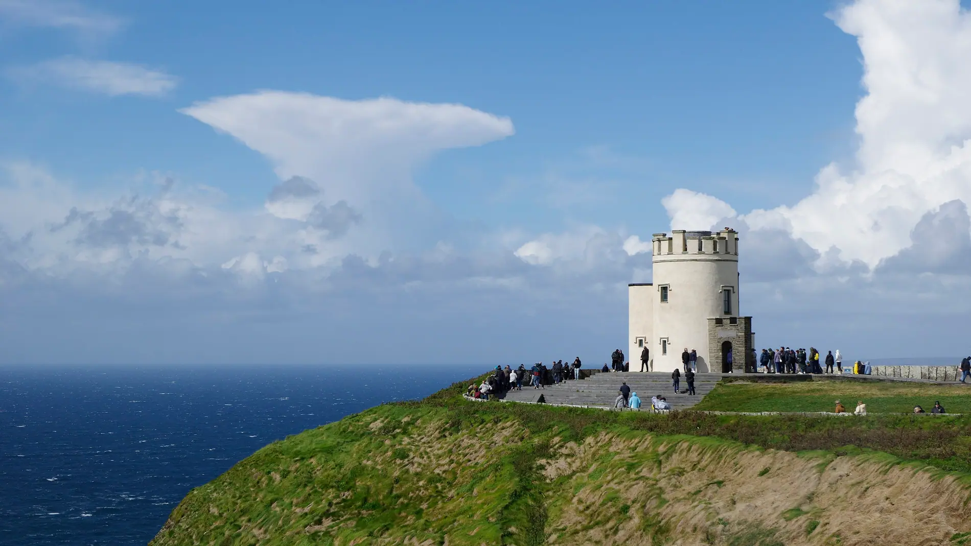
2,500 kilometres on the west coast, from Donegal to Kinsale.
Mountain route
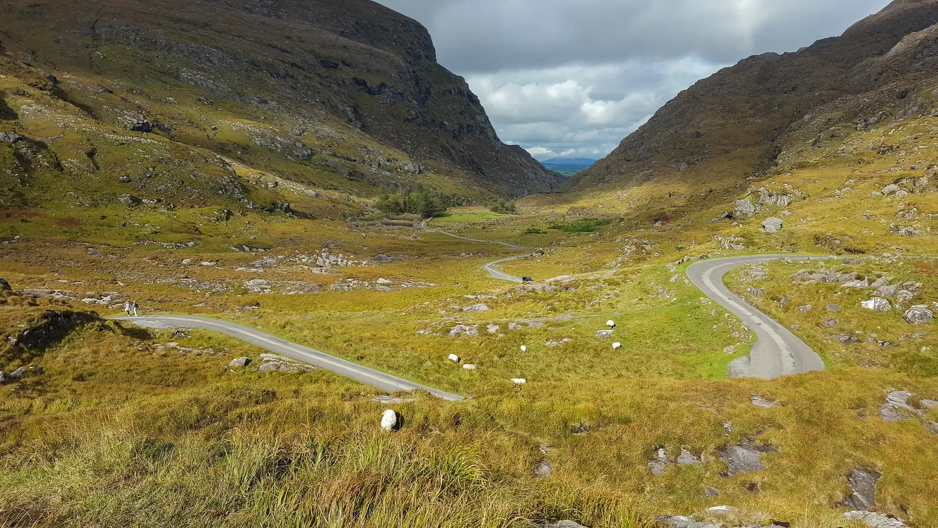
The R759 through the Wicklow Mountains — narrow, high, and at the mercy of the weather.
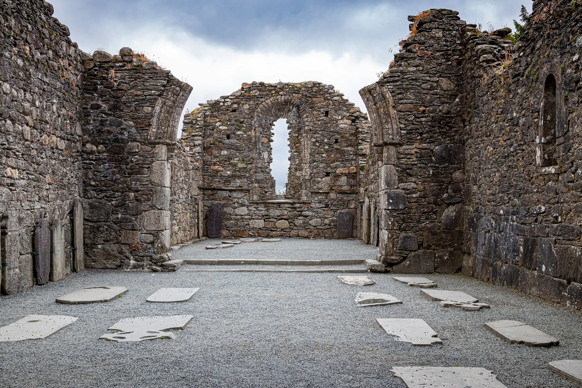
Many of the places people travel furthest to see sit on roads older than the motorway network. They are worth reading as part of the route itself.
Index of placesYou do not have to read everything in order. The site is arranged around what you are trying to do, rather than around any formal structure.
Start with the M50 junctions, then with tolls. Between them they give you the context you need for everything else.
The planning page is the right place to start. It covers how time is allocated, what can be controlled, and what cannot.
Go to the road network or to the places. They exist to describe, not to give you an itinerary.
“Every journey depends on two things a website cannot promise: the weather and the maintenance schedule.”
That is why we describe the kind of road rather than promise the conditions. When weather or maintenance work is at issue, check official sources.
Weather and seasons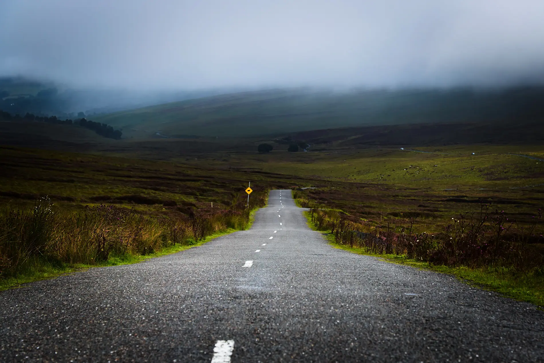
m50nline is an independent editorial project based in Clontarf, Dublin. We are not a road operator, not a construction company, and we do not supply tickets, bookings or travel services.
We write about how the infrastructure works — what a sign means, how a toll is calculated, what keeps a tunnel safe. When we cannot confirm something, we say so.
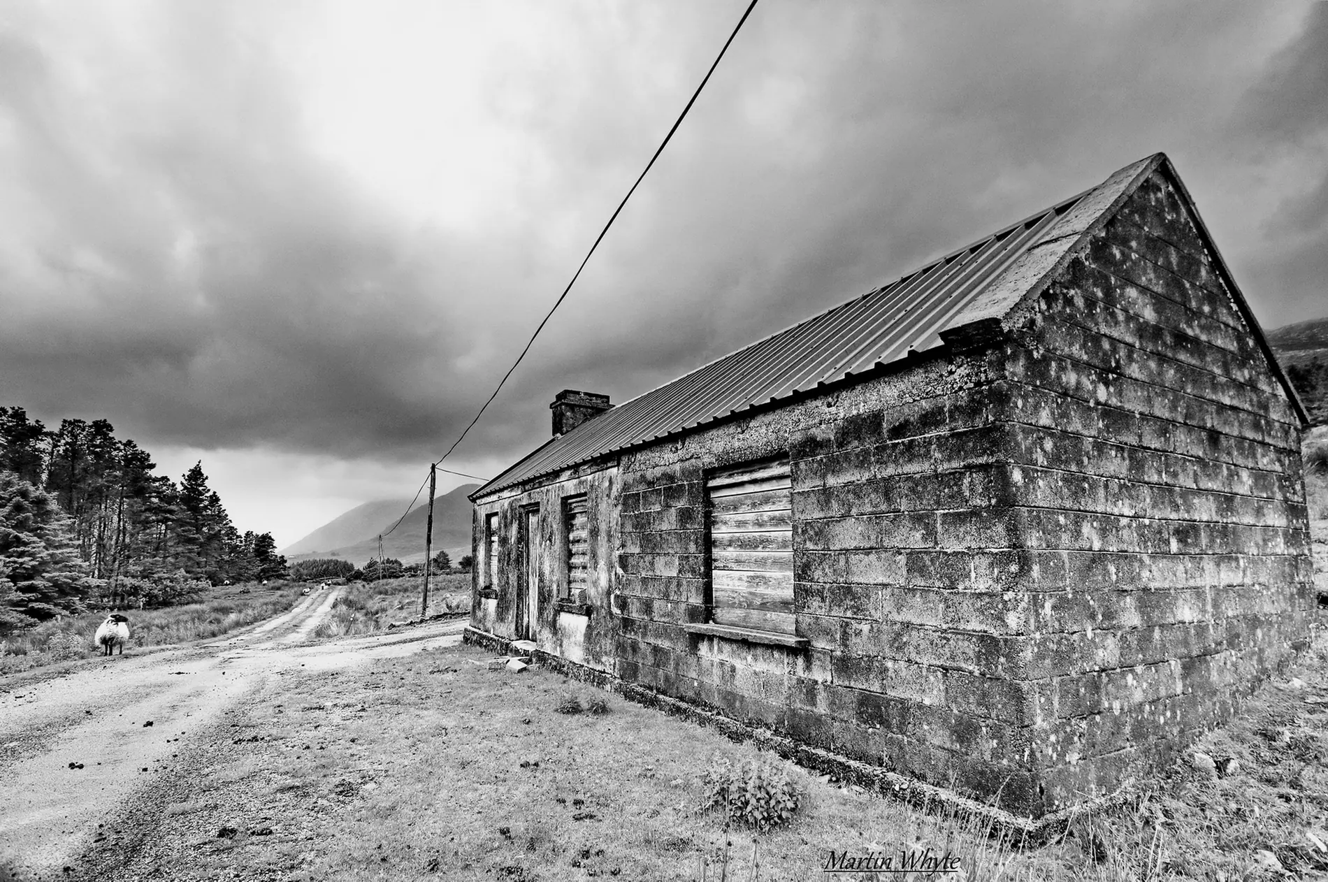
Ireland's network has two distinct parts, and they are easy to tell apart. First, the motorways and the main national roads that connect the cities. Second, the local network that connects the small towns, the farms and the coast.
The first is what matters if you are going from one place to another quickly. The second is what matters if you are trying to see the country. They are not the same thing, and they cannot simply be swapped.
Many of the best-known routes begin on a motorway and then turn onto smaller roads. That change is the part of the journey that makes the most difference.
Understanding a motorway toll: what counts, what does not, and why it changes.
How to arrange a journey around distances, weather and road type — without relying on promised times.
Motorway, dual carriageway, junction, toll — the terms that come up most often.
A long essay with diagrams and detail.
A long essay with diagrams and detail.
A long essay with diagrams and detail.
m50nline does not provide tickets, bookings, payments, toll accounts, legal advice or travel services. We make no promises about journey times, regulations or traffic management. We can make mistakes; tell us about them and we will correct them.
Material is written and reviewed according to our editorial policy.
If you spot an error, let us know at [email protected].
m50nline, 73 Clontarf Rd, Clontarf East, Dublin 3, D03 EP93, Ireland
+353 1 833 6364